
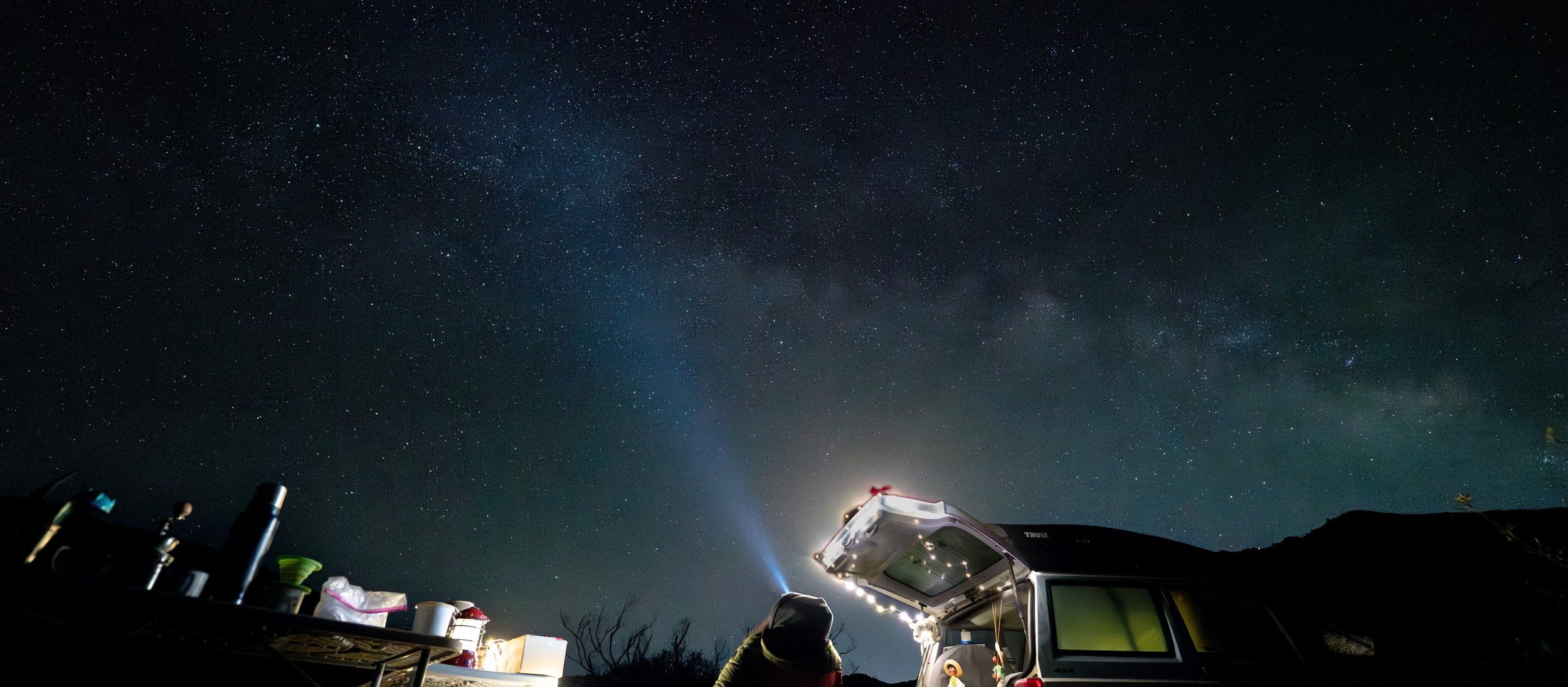
Run under the Moon in Ojai
Aid Station Food & Fuel (aka: Your Survival Buffets)
All aid stations—except for Chief Peak—will be stocked with a glorious mix of runner fuel and comfort snacks to keep you moving (or at least bribed into continuing). You’ll find a modest stash of Neversecond gels, Neversecond C30 Sports Drink, GU gels, and GU blocks to keep your legs turning and your spirits semi-intact.
If gels aren’t your love language, don’t worry—we’ve got real food too. Think classic PB&J, warm quesadillas, soups that may taste like heaven depending on how many miles you’ve run, plus a chaotic assortment of candy, cookies, and whatever else looks appealing in the moment. (At mile 30, everything looks appealing.)
Now… about Chief Peak Aid Station:
It’s water. Just water. No snacks. No treats. No emotional support quesadilla. This is your “character-building” stop. Plan ahead, carry what you need, and maybe whisper a few encouraging words to yourself on the climb.
For 55K runners, Chief Peak is your last stop before heading back toward Aid Station #1, where snacks—and hope—return. So fuel up before you get there unless you enjoy dramatic internal monologues and negotiating with your own legs.
COURSE
Because our longer distances are… well… rude, we’re keeping the qualifying requirements for the 100-mile and 100k events. They’re gnarly, they’re spicy, and they will absolutely ask you some personal questions out there so we want to make sure you’re ready to answer them.
For the 100-mile:
We need proof (email it to coyotetwomoon@gmail.com) that you’ve completed something at least 60+ miles with 15,000+ feet of vert. Race or not we don’t care, just suffer a little. Think of this as the “are you sure you want to do this?” checkpoint. Our 100-miler dishes out 26,000 feet of vert, so this is really just the warm-up act.
It must have been completed within one year. We respect your past accomplishments but we also want to make sure Race Day You isn’t relying on “2017 You” for survival.
For the 100k:
We’ll need to see a 50k with at least 10,000 feet of vert. This is to help prepare you for… you guessed it… basically double that, because we’re generous like that. Our 100k comes in hot with 17,000 feet of vert, so you’ll want to show up ready to Suffer have fun.:)
Other distances:
No official qualifiers but don’t let that fool you. These courses are still beefy. Show up prepared, trained, and maybe a little suspicious of your own decision-making.
We’re not trying to scare you… okay, maybe a little. But mostly we just want you safe, strong, and smiling (or at least smiling on the inside)
PACERS: One pacer. Uno. Singular. This is not a family reunion or a group hike please don’t bring your entire support squad onto the course
100K runners: Pacers are allowed starting at Horn Canyon TH or Rose Valley. Your pacer needs to check in and sign a waver send us their name, where they’re jumping in, phone number, and an emergency contact (name + number). Email works no carrier pigeons required.
100M runners: Pacers can join at Gridley TH or Cozy Dell TH. Same deal name, phone number, and emergency contact info. Keep it simple, keep it organized, keep it to one human.
DROP BAGS:
Short version: if you’re running the 55K, 30K, or 10K… congrats, you are your own drop bag 😄 No bags for those distances.
For 100M, 100K, and 50M runners:
Bring your drop bags to runner check-in on Friday before 4 PM ( 50 mi at check in on Saturday) at the start/finish area.
Label your bag clearly with:
Your bib number
The aid station
Also: don’t put valuables in there. If you’ll be sad if it disappears, don’t pack it.
And yes, you’ll get your bag back… eventually. Please don’t stand at the finish line asking for it 10 minutes after you’re done. Bags will not be returned until Sunday afternoon.
Drop bag locations:
Rose Valley – 100M, 100K, 50M
Horn Canyon – 100K, 100M
Gridley Bottom – 100M
Cozy Dell – 100M, 50M
Pack smart, label well, and maybe throw in a snack you’ll actually want at mile 70 (you’ll thank yourself later).
Our 100-mile adventure isn’t just a run it’s a dirt-fueled, quad-crushing, view-gobbling extravaganza! You’ll tackle 99% dirt trails (yes, we counted), including fire roads, sweet single track, and jaw-dropping canyon vistas. Expect long climbs that make your legs question your life choices, cruisy downhills that’ll make you feel like a mountain goat, twisty switchbacks, peaks to conquer, and if you’re feeling extra heroic, a tower to climb. Oh, and vert… lots and lots of vert. Get ready to worship your quads.
We love showcasing Ojai’s trails and hope you take time to explore them before and after the event. Treat the course with respect so future runners can suffer gloriously too!
The legendary Sisar Canyon Run Club hosts weekly runs every Sunday at 8am (7am when it’s hotter than a jalapeño). Starting from the same Rock, Tree, Sky Learning Center as race day, some brave souls tackle our 30k route, while others wander “off site” chasing new trails. Join us for pre-race runs, training days, and maybe a little trail TLC.
Whether this is your first epic endurance test or your latest personal glory quest, we’ve got a distance to suit every kind of pain tolerance. Study your start times like they’re a treasure map:
Distances & Start Times
Whether this is your first big challenge or a personal glory quest, there’s a distance for every level of endurance. Please review your start date and time carefully:
Distance
Start Date & Time
Cutoff
100 Miles Fri, May 1, 17:00 (5:00 PM) 42 hr. Sun, May 3, 11:00
100 Kilometers Fri, May 1, 17:00 (5:00 PM) 42 hr. Sun, May 3, 11:00
55 Miles Sat, May 2, 06:00 (6:00 AM) 29 hr. Sun, May 3, 11:00
55 Kilometers Sat, May 2, 08:00 (8:00 AM) 27 hr. Sun, May 3, 11:00
30 Kilometers Sun, May 3, 08:00 (8:00 AM) 8 hr. Sun, May 3, 15:00
10 Kilometers Sat, May 3, 08:15 (8:15 AM) 8 hr. Sun, May 3, 15:15
Get ready to run, stumble, cheer, and maybe even laugh at your own misery. This isn’t just a race—it’s a dirt-soaked adventure you’ll never forget!
Our 100k event has over 16k worth of vert and includes trips up to both Topa Topa bluffs and Chief Peak ,which are both iconic spots in Ojai. This will be a challenging route for anyone, but you may be rewarded with a sunset on the bluffs and a sunrise from the tallest peak in the front country. This 100k has the same cutoff time as the 100M race, so there is ample time to enjoy the moment.
THIS EVENT BEGINS AT 5PM FRIDAY MAY 2ND, 2025.
You asked for it, we made it. Then we changed it. Welcome to our BRAND, EVEN MORE NEW 55K event. This event will take place while the 100M and 100K runners are already on course. You will get to visit Topa Topa bluffs, beautiful Rose Valley (yes there is a waterfall on course) and now you will also get to view (and climb if you want) Chief Peak!!! We got rid of the out & back section on Lion Canyon trail. It is not wide enough for that to be fun and we decided that this loop was epic enough to add on a couple miles. The course was a bit long to start, but now it is a proper 55k. Congrats!!
THIS EVENT BEGINS AT 8AM ON SATURDAY MAY 3RD,2025.
Not into the ultra distances (yet)? We have a very sought after 30k route to the Topa Topa bluffs just for you. You will have multiple stream crossings, hit our Boulder Beach water station twice and our Topa aide station twice. This means you can pack light on this epic route up and around the iconic bluffs that shine bright over the valley. If you just want to get a closer glimpse of the bluffs but are not quite ready to get to the top then come out for our 10k that offers shady trails, stream crossings and an amazing view of the bluffs above.
THESE EVENTS BEGIN AT 8AM ON SUNDAY MAY 4TH, 2025.