
Coyote Two Moon 30k
Coyote Two Moon 30k
03 May 26 @ 0800
NOT QUITE AN ULTRA (YET)? WE GOT YOU.
If you're not into the ultra-distances... yet (we see you, future 100-miler), don’t worry we’ve got two absolutely stunning options designed to get your trail fix without total leg obliteration.
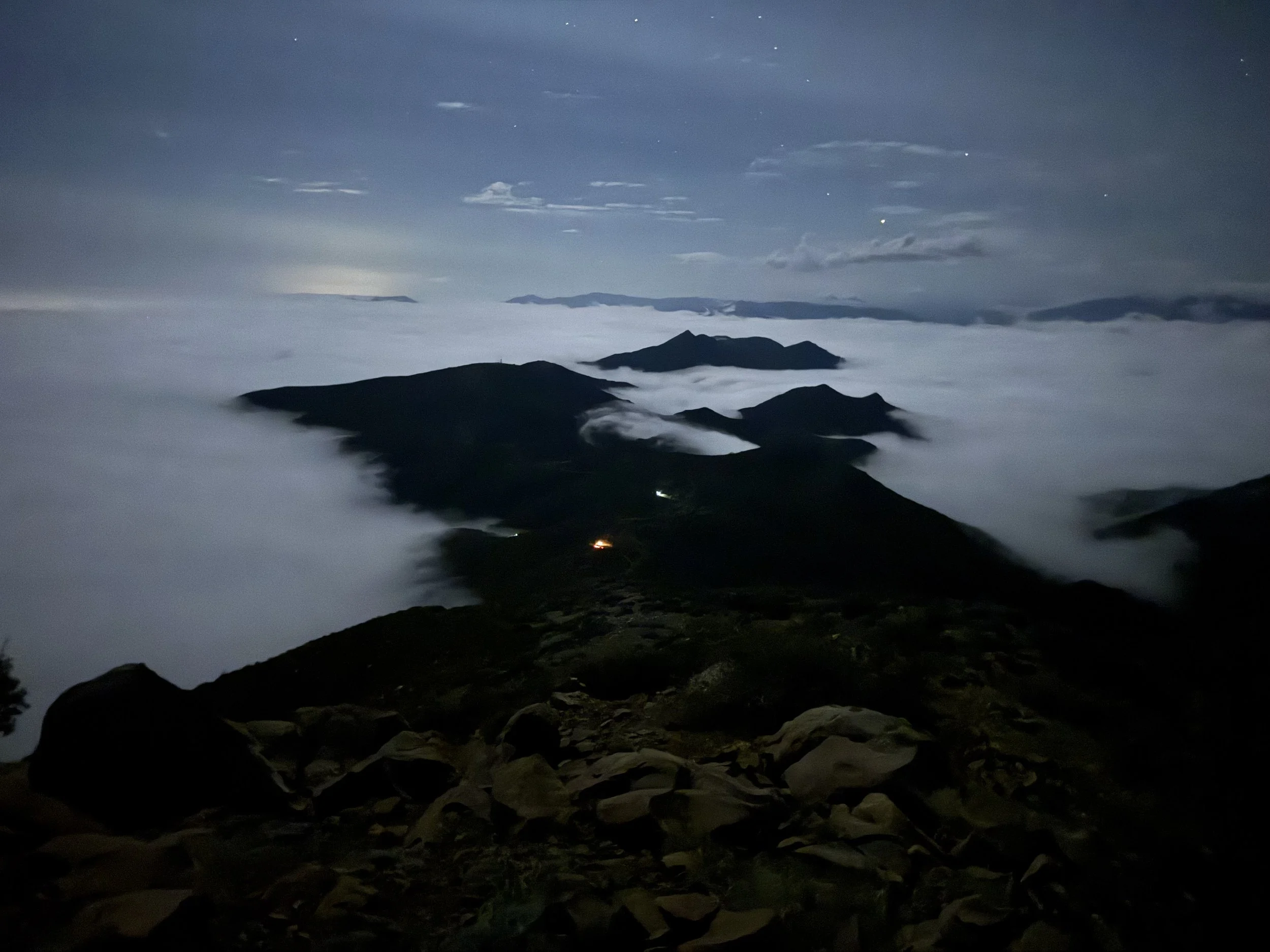
THE 30K: TOPA TOPA OR BUST
This isn’t just any 30K this one’s sought after, scenic as heck, and packed with trail goodness. You’ll:
Cross multiple streams (yes, you might get splashy)
Hit the famous Boulder Beach aid station twice
Cruise past the Topa Topa aid station twice
Ascend and loop around the iconic Topa Topa Bluffs, those golden ridges that glow over the valley like some kind of trail runner’s dream
With so much support along the way, you can pack light and run free on this epic high county trail lollipop style out-and-back-turned-loop.
EVENTS START: Sunday, May 3rd, 2026 at 0800 AM Cut off is Sunday, May 3rd, 2026 at 1500
Show up, lace up, and enjoy the magic of Ojai's trails no ultra distance required (but we won’t stop you from dreaming about next year 😉.

1500 03 MAY

Mile 0.0 to Mile 7.09
Start Rock Tree Sky School Start at an Elevation of 1,574 ft. - Topa-Topa AS # One at 5,273 ft.
From the School run North on Sisar Rd passing several homes on your left and right. At .5 mi, you will come to an iron gate and leave the asphalt road to dirt fire road. Continue north on Sisar Canyon passing several stream crossings and switch backs. At mi 4.24 and at 2,768ft you will find a large iron yellow gate. Right after the gate, you will see a single-track trail called Red Reef on your right. Take Red Reef trail through White ledge campground mi 5.29 at 3,667ft. Continue climbing north to Forest Service Road FS 05NO8. You will arrive to intersection of FS05NO8 and Red Reef trail, this is Mi. 6.94 and at an Elevation of 5,111ft. Turn Right (East) towards the TopaTopa bluffs and you will find Aid station #1 at Mi. 7.09 at an Elevation of 5,273ft.
Topa-Topa AS # One at an Elevation of 5,273 - Topa-Topa AS # One at an Elevation of 5,273
Mile 7.09 to Mile 10.76
Fuel up and prepare for your ascent of the TopaTopa’s. Leaving Aid station #1 head east towards the summit on the fire road. At mi 7.47 and at an Elevation of 5,412ft turn right you will leave the Fire road for the TopaTopa Bluff trail continue up the switchbacks not the direct fire line break. You will reach the summit at mi 8.2 mi and at an Elevation of 6,379 (get your bracelet). From the summit, follow single-track ribbons down towards Old TopaTopa Bluff Road. Once on the Old TopaTopa Bluff Road turn left on the Old TopaTopa Bluff Road at mi 8.27 at an Elevation of 6,191ft. Continue Northeast on Old TopaTopa Bluff Road until you reach Red Reef trail intersection at mi 9.29 at an Elevation of 6,048. Follow Red Reef trail to Aid Station #1 at mi 10.60 at an Elevation of 5,273ft.
TopaTopa Aid station # One at an Elevation of 5,271ft Rock Tree Sky School finish 1,574 Ft
Mile 10.76 to Mile 17.92
Fill up and prepare for the long downhill to the finish. Leave the Aid station heading west on FS-05N08 after a short downhill you will turn Left on Trial 21W08 towards White Ledge campground at mi 10.95. Continue passed the campground until you reach Sisar Canyon Fire road at mile and you will find a large iron yellow gate go past the gate going downhill. Sisar Canyon Fire road this will be at mi 13.70 and at an Elevation of 3,291. Stay on Sisar Canyon Fire road to the finish at Rock Tree Sky School 17.92mi
