
Coyote Two Moon 55 miler
Coyote Two Moon 55 miler
02 May 26 @ 0600


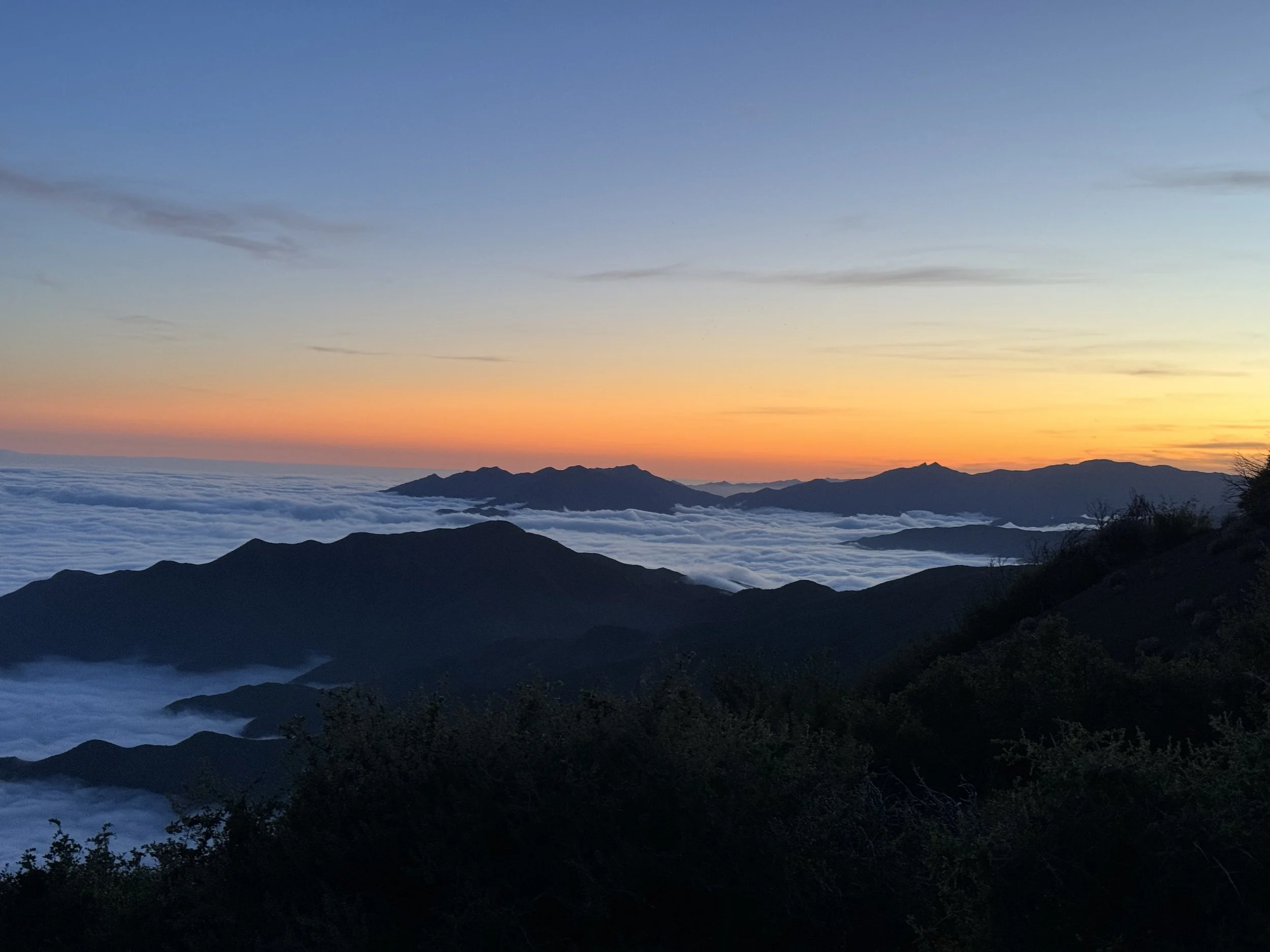
Start Rock Tree Sky School Start at an Elevation of 1,574 ft. - Topa-Topa AS # One at 5,273 ft.
Mile 0.0 to Mile 7.09
The Epic Quest to Aid Station #1
Start your journey at Rock Tree Sky school yes, the same one where you learned not to eat glue and head north on Sisar Road. You’ll pass several houses on both sides, so wave politely or pretend you're in an action movie chase scene. At exactly 0.5 miles, you’ll hit a rusty iron gate, dramatic, right? That’s your cue to leave the nice comfy asphalt and commit to the dirt fire road life. Things just got real. Keep heading north into Sisar Canyon, where you’ll conquer a couple stream crossings. Power through until you reach mile 4.24 at 2,768 ft elevation where you’ll encounter a large brown iron gate. It’s big. It’s brown. It’s iron. You can’t miss it. Right after this gate, keep your eagle eyes peeled for a sneaky little single-track trail on the right, that’s the Red Reef Trail, and yes, it sounds like a Pirates of the Caribbean ride, but it’s real. Hop on it and continue your glorious climb to the White Ledge Campground, sitting pretty at 5.29 miles and 3,667 ft. Still got energy? Good, because you’re not done yet! Keep climbing (because you love Type 2 fun) until you hit the Forest Service Road FS 05N08 at mile 6.94, where you’ll be chilling at a cool 5,111 ft elevation. Once you’re there, turn right (East) like a boss toward the TopaTopa Bluffs Aid station (aka Elder Camp) sounds majestic, and it is. Just a bit more and voilà you’ll stumble gloriously into Aid Station #1 at mile 7.09 and 5,273 ft. Grab a snack. High-five volunteer. Question your life choices. And then keep going – the adventures only just begun.
Topa-Topa AS # One at an Elevation of 5,273 - Topa-Topa AS # One at an Elevation of 5,273
Mile 7.09 to Mile 10.76
Time to Fuel Up and Conquer the TopaTopas!
Alright, warrior, stash those snacks and mentally prepare for your big climb of the TopaTopa’s. From Aid Station #1, head east on the fire road like you’re chasing a sunset (or maybe just trying to outrun your sweat). At mile 7.47- and 5,412-feet elevation, it’s time to say goodbye to the comfy fire road and take a right onto the TopaTopa Bluff Trail. This is where things get twisty ditch the direct fire line break and embrace the switchbacks. Think of them as nature’s way of making sure you earn every step. Push through those zigzags and you’ll reach the summit at mile 8.2 and 6,379 feet cue the triumphant music and grab your bracelet (proof you survived the mountain’s wrath). Feel free to do a victory dance or just pant dramatically.
Now, the fun continues downhill! Follow the single-track ribbons as they guide you down towards the Old TopaTopa Bluff Road. When you hit it at mile 8.27 and 6,191 feet, turn left and keep heading northeast like you know exactly where you’re going (even if you don’t). Keep cruising until you find the Red Reef Trail intersection at mile 9.29, elevation 6,048 feet. From here, take Red Reef Trail back down to the trusty Aid Station #1 at mile 10.60, 5,273 feet. Rest up, pat yourself on the back, and maybe celebrate, because you just climbed TopaTopa mountains and lived to tell the tale.
Topa-Topa AS# One at an Elevation of 5,273 ft. - Rose Valley camp ground AS # Two and 3,416 ft.
Mile 10.76 to Mile 17.56
Onward, Adventurer! Time to Tackle Lion Canyon
Head west on FS05NO8 like you’re on a secret mission to find the coolest trail snack (or maybe just the bathroom). When you hit the intersection, turn right at mile 11.41, elevation 5,135 feet—don’t worry, it’s not a trap, it’s the Lion Canyon Trail. This trail’s pretty straightforward no sneaky side quests here! Just a narrow single-track heading northwest, with zero intersecting trails until you reach the West Fork and East Fork Lion Campground at mile 15.1, elevation 3,412 feet. That’s right, you get some good alone time with nature (and maybe some curious coyotes). Once you hit the campground intersection, channel your inner stream-crossing pro cross straight over the water and stick to the east side of the stream like a hiking ninja. Keep an eye out for the big intersection with the Middle Lion Trail, Rose-Lion Trail, and Lion Canyon Trail. Here’s the plot twist: turn left onto Rose-Lion Trail at mile 15.70, elevation 3,377 feet. Shortly after, you’ll splash across the stream again (watch out for slippery rocks!) and follow the Rose-Lion Trail west towards the Rose Valley Campground. After some scenic canyon winding and a tiny climb (don’t worry, nothing too dramatic), you’ll find the much-anticipated Aid Station #2 at mile 17.56, elevation 3,416 feet. Time to rest, refuel, and maybe swap stories with fellow trail warriors before you keep going.
Rose Valley Campground AS # Two and 3,416 ft- Gridley Top AS # Four at 3,807ft
Mile 17.56 to Mile 22.35
Welcome to the Grind: The Climb to Gridley
Alright, time to embrace your inner mountain goat because this next section means business. You're facing a 2.44-mile climb with a casual 1,597 feet of vertical gain. Yep, that’s right this is the "why did I sign up for this?" part of the course. As you huff and puff your way up, you'll eventually reach a three-way intersection with FS-05N42.2 and FS-05N08B (say that five times fast). This lovely little meeting spot comes at mile 19.62. When you get there, stay right (west) on FS-05N08B Fire Road don’t go getting creative with route options unless you want bonus miles and existential dread. Now you're on the ridge, catch your breath and maybe a view or two. Keep cruising along the fire road, and at mile 22.35, you'll roll into Gridley Top Aid Station #4, sitting pretty at 3,807 feet elevation.
Gridley Top AS # Four at an Elevation of 3,807 ft. - Cozy Dell AS # Eight at 881 ft.
Mile 22.35 mi to Mile 30.32
Brace Yourself… Literally. Time for Summit Views and Switchbacks!
Once you've raided the aid station like a hungry raccoon, it's time to hit the trail again. Head west along FS-05N08 Fire Road toward Nordhoff Peak. At mile 23.40, you’ll hit the Nordhoff Peak intersection at a cool 4,396 feet. Here's where the fun begins: turn right and grind your way up to the fire tower.At the top, collect your second bracelet because who doesn't love trail fashion? take a moment to soak in the views (and your own sweat), and then turn around and head back down to the intersection. Now keep cruising west on FS-05N08. You’ll be gliding downhill, feeling fast and free, until bam! you see Pratt Trail sneak up on your left. Don’t miss it. It’s not shy, just really good at hiding when you're tired. At the FS-05N08 and Pratt Trail intersection (mile 24.50, elevation 4,012 ft), take a left (south) and descend down that sweet, sweet Pratt singletrack. It's flowy, fun, and the kind of trail that makes your knees question your life choices (but in a good way). Eventually, you'll reach the intersection of FS 5N34 and Pratt Trail at mile 27.33 and 2,033 ft. Stay right (west) here, continuing downhill like you're being chased by snack-deprived squirrels. At mile 28.30, and now down to 1,402 ft, look sharp: you'll need to make a hard right onto Cozy Dell Trail (23W26). It’s sneaky and easy to blow past if you're daydreaming about pizza. Continue on Cozy Dell, navigating two little "are-we-uphill-again?" moments before reaching Cozy Dell Aid Station #6 at mile 30.32, elevation 881 ft. High-fives, electrolytes, and possibly spiritual awakening await.
Cozy Dell AS # Eight at an Elevation of 881 ft. Gridley Top AS # Four at 3,807 ft.
Mile 30.32 to Mile 37.96
Back Up You Go It’s Pratt Time!
Alright, time to shake out those legs and climb like a mountain goat with ambition. You’ll head back up Cozy Dell Trail (23W26) yes, the same trail you came down earlier. It might feel familiar, but this time gravity’s not your friend. At mile 33.32, you'll reach the intersection of FS 5N34 and Pratt Trail, sitting at a breezy 2,033 feet elevation. Turn left (north) here and begin your ascent up Pratt Trail. Think of it as nature’s stairmaster, but with better views and fewer gym bros. Stick with Pratt Trail until it meets FS 5N34 Fire Road again at mile 36.03 now at a respectable 4,012 feet. Take a right turn here and keep those eyes peeled: you're headed toward the Nordhoff Peak Fire Tower (but don’t get too excited, we’re not going all the way to the summit unless you want to). Skip the little spur trail to the tower like it’s a bad Tinder date and instead continue along to the Gridley Top Aid Station, located at mile 37.95 and 3,808 feet. This is your last oasis before a nearly 10-mile stretch to the TopaTopa Aid Station, so fill up like it’s Thanksgiving. Water, snacks, electrolytes and whatever your trail soul desires.
Gridley Top AS # Four at an Elevation of 3,807 ft. - TopaTopa Aid station # One at 5,271ft
Mile 37.96 to Mile 47.52
Once you’ve caught your breath and had your dramatic mountaintop moment, it’s time to hit the trail again for the next stretch along the ridge. Head east on Fire Road FS-05N08 yes, the name sounds like a Wi-Fi password, but you’ll get used to it. At mile 40.69, you’ll hit a 3-way intersection with FS-05N42.2 and FS-05N0B8. Turn right and Keep cruising straight down the fire road. When you hit mile 42.45, it’s time to make a sharp right turn — because obviously, the trail saved the steepest, leg-burning climb for dessert. You're now heading up the trail to Chief Peak. It's straight up, no chaser. At mile 42.75, you’ll reach the summit of Chief Peak, standing proud at 5,581 feet. Bask in the epic views, strike a superhero pose, and don’t forget to collect your third bracelet. When you're done being majestic, take the South-facing trail back down. Around mile 43.24 and 4,809 feet, you’ll stumble upon a water-only unmanned aid station which is a fancy way of saying “help yourself, no one’s here.” Hydrate like a legend. Rejoin Fire Road FR-05N08 and run 1.72 miles until you hit the intersection with Sisar Canyon Fire Road. Turn left (yes, left the other left) onto FS-05N08 and start heading uphill toward Sisar Peak. This turn happens at 44.96 mile. You're earning that post-race pizza with every step. After passing the access road to Sisar Peak, keep grinding on FS-05N08. You'll reach the TopaTopa Aid Station #1 at mile 47.52, sitting pretty at 5,271 feet. You've made it! Time to refuel, high-five a stranger, and possibly question your life choices in the best way possible.
TopaTopa Aid station # One at an Elevation of 5,271ft Rock Tree Sky School finish 1,574 Ft
Mile 47.52 to Mile 54.51
Refuel, Recharge, and Ready That Downhill Swagger!
Time to top off those bottles, grab a snack (or five), and mentally prepare for the glorious, gravity-assisted cruise to the finish line. From the aid station, you'll head west on FS-05N08. After a short little drop you’ll take a left onto Trail 21W08. Don’t worry, it’s not a trap. You're aiming for White Ledge Campground, which you'll hit at mile 49.15, sitting pretty at an elevation of 3,882 feet.
Keep pushing past the campground (no time to roast marshmallows), and you'll eventually hit Sisar Canyon Fire Road around mile 50.28. You’ll know you’re there when you see a giant, very unsubtle, iron yellow gate. Cruise past it like a pro—you’re officially in downhill territory now!From there, stay on Sisar Canyon Fire Road—which drops you down to an elevation of 3,291 feet—and just let your legs do their thing. Follow it all the way to the finish line at Rock Tree Sky School, a.k.a. mile 54.51
